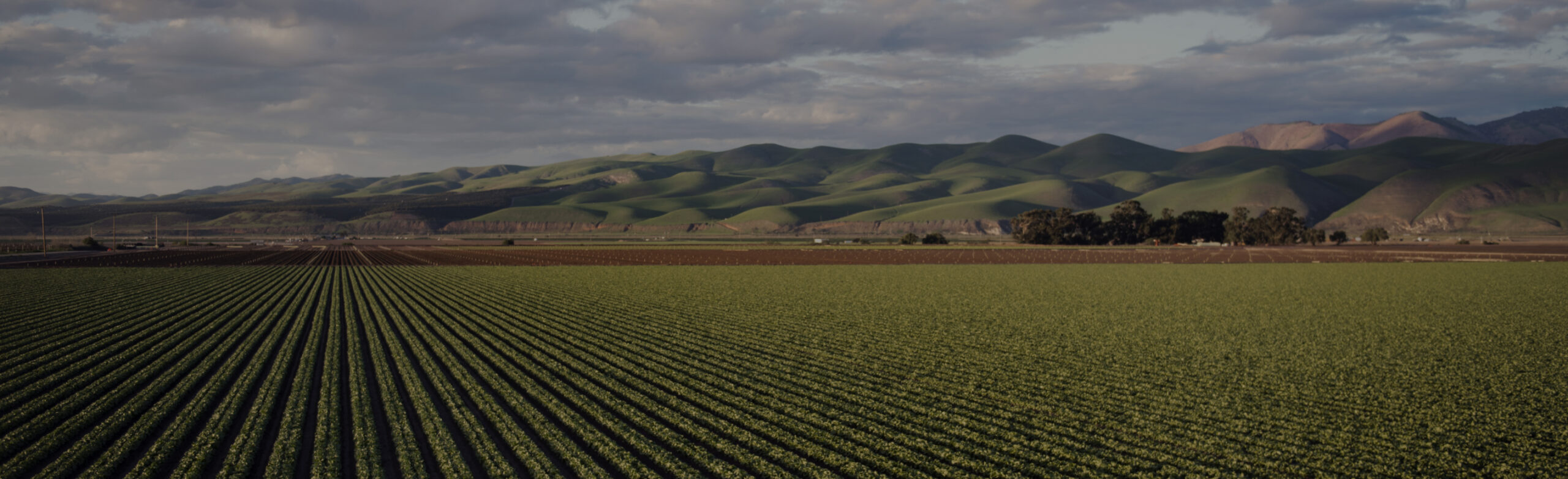
Agriculture
Pilot Project of Traceability System, the National Bureau of Agricultural Commodity and Food Standards
Appointed as a consultant in the Pilot Project of Traceability System under the National Bureau of Agricultural Commodity and Food Standards, CDG Group has developed a traceability system for fisheries, livestock, and plant products for the control, supervision, and traceability in their production chain for information exchange between public and private sectors. This joint effort is to determine the best solutions for Thailand’s agricultural outputs for global recognition.
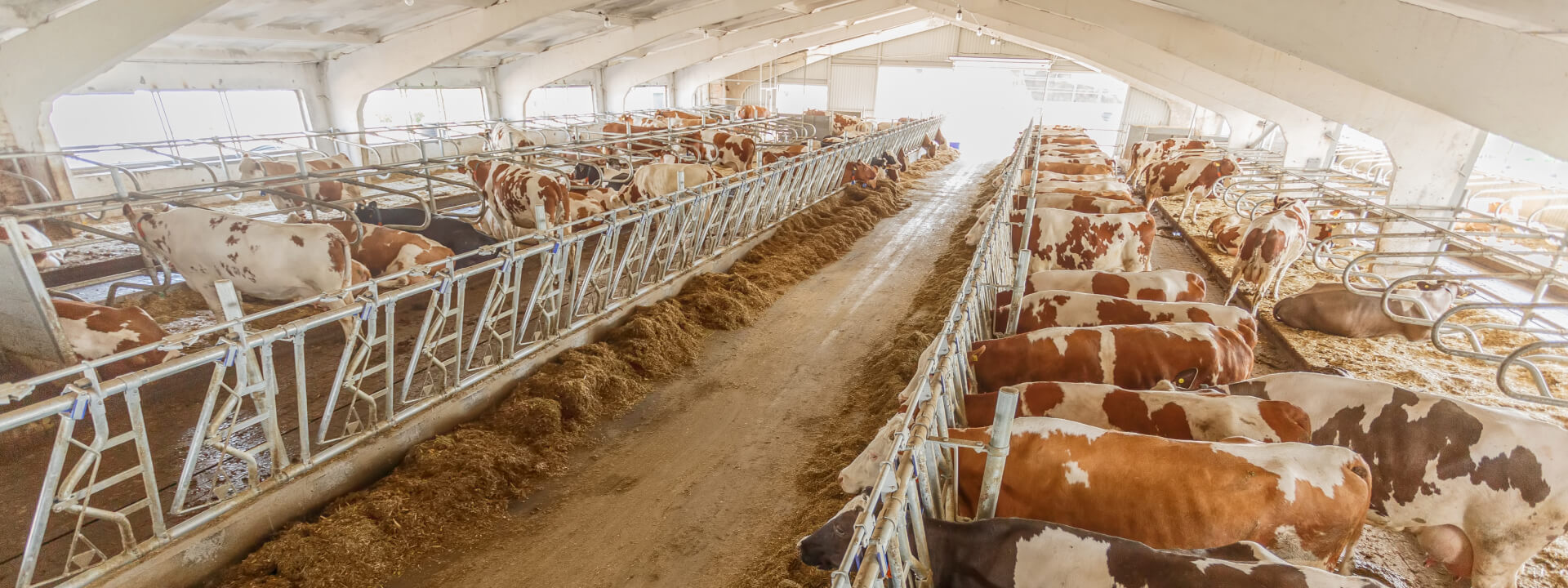
Development Project of Animal and Carcass Movement (e-Movement Smart Kiosk), the Department of Livestock Development
CDG Group together with the Division of Veterinary Inspection and Quarantine has developed the e-Movement Smart Kiosk, an automatic inspection system for animals and carcasses, to facilitate operators with a 24-hour service access. One of the prominent attributes is its simple operating procedure which results in less time spent and better services with continuous system development for the ultimate benefits of the public. Thanks to these, the Department of Livestock Development received the government administration award from the Office of the Public Sector Development Commission (OPDC) as a “good” service developer for the year 2019.

Development of Geographic Information System to Promote Agriculture, Department of Agricultural Extension
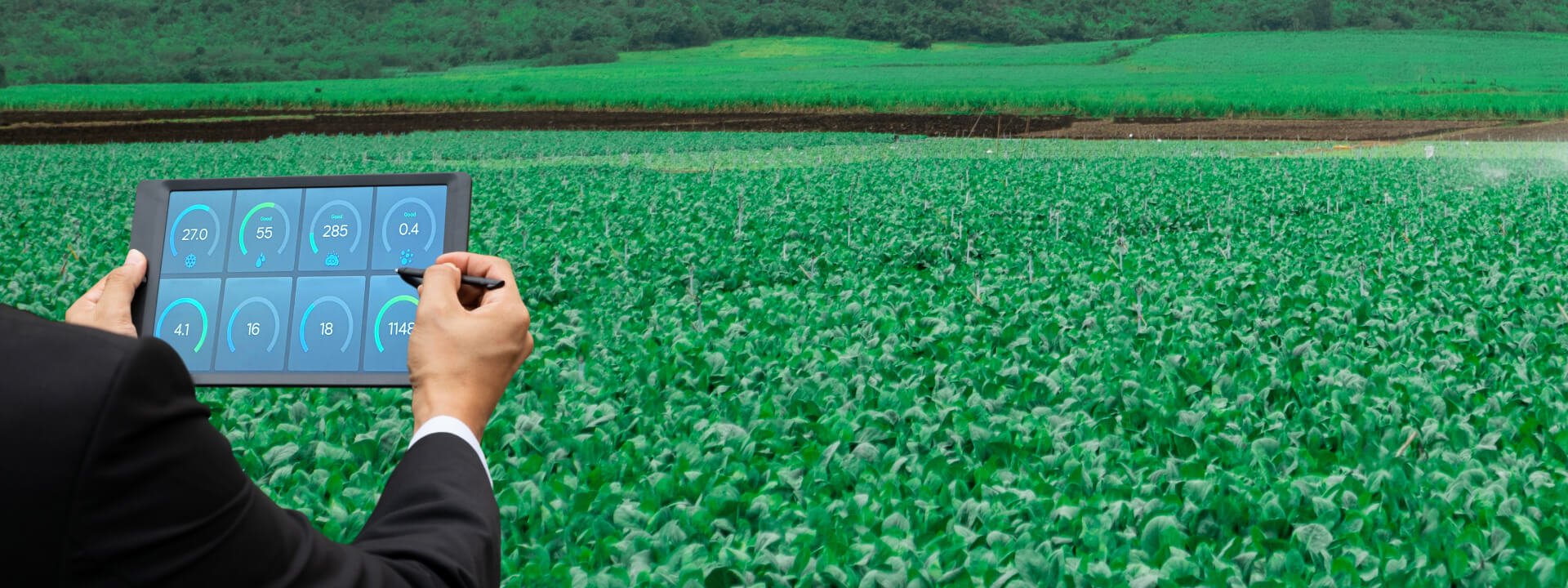
CDG Group, in partnership with the Department of Agricultural Extension, has pioneered an advanced Geographic Information System (GIS) to revolutionize agriculture. This cutting-edge system features a flexible mapping platform that empowers users to tailor the presentation format to their unique requirements. By harnessing the power of data analysis, this system empowers users to analyze and evaluate agricultural conditions, strategically promoting cultivation in high-potential regions. Moreover, it incorporates an array of dynamic data analysis dashboards for seamless information retrieval and real-time tracking, catering to the needs of both top-tier management and field personnel. Dashboard to track and monitor agricultural activities and data in dry seasons Farm-based dashboard to monitor impacts caused by various circumstances Dashboard to display farmer licensing status Plant-based dashboard to monitor the monthly production of five crops Location-based dashboard to monitor improvements and status of two significant industrial crops
Geographic Information System Development Project to Support Decision-Making and Research Planning in High-Elevation Areas, Highland Research and Development Institute
CDG Group, together with the Highland Research and Development Institute a high-elevation (Public Organization), has developed a necessary data management system for development in high-elevation areas at both regional and collaborative organizational levels. Additionally, a geographic information system is being developed to support decision-making and research planning in high-elevation areas. This system integrates deep data processing, facilitates efficient decision-making, provides guidance, and enables effective task monitoring. It is a web-based and mobile device-compatible system designed for convenient and seamless operation anywhere, anytime.
Development Project of a User-Interactive Database with Artificial Intelligence Technology for Agricultural Land Use Planning on Individual Plots, Department of Land Development
CDG Group, with the Department of Land Development, has developed a data service system that involves creating an interactive database to provide knowledge for agricultural land use planning on individual plots. This system integrates Artificial Intelligence (AI) technology, machine learning, and various data sources from the Department of Land Development. These include soil dataset, land use data, water resource data, fertilizer usage recommendations, economically viable crop cultivation areas, biotechnology data, soil analysis data, service-related information, and data from the department's applications. In addition, CDG Group has developed government data services through online social media platforms to enhance the efficiency of agricultural data communication. This includes the Line Chatbot 'Nong Din Dee' and Facebook Messenger 'Talk to Nong Din Dee', providing convenience for farmers, the general public, and businesses to inquire and receive information 24/7. It serves as a knowledge base and gathers insights into the needs and behaviors of farmers and the general public, enabling analysis and future applications.

Geographic Information Management System Development Project for the Fiscal Year 2020, Department of Fisheries
CDG Group has developed a Geographic Information Management System (Fisheries GIS Portal) that responds to changes in data according to different situations. It imports and stores data in multiple formats, including coordinates, images, numbers, and text. It analyzes and presents data in accurate, fast, and user-friendly spatially-related formats. For example, it displays data through an Operational Dashboard and supports efficient customization of presentation data in multiple dimensions for effective communication and high-level management meetings. Additionally, the system provides real-time data services and updates through both computer and mobile devices.


