GIS
GEOGRAPHIC INFORMATION SYSTEMS

Sync Imagery Data and Streamline All Complex Imagery Work with Ease
Sync all imagery work that requires multiple image sources, such as drone shots, aerial photography.

Increase GIS Skills for Students
Elevate the education system with GIS technology that will equip students and educational personnel with the knowledge to use the GIS system as well as ready-to-use applications without any programming skills.

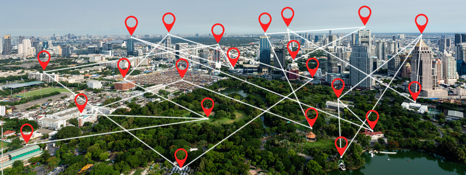
Driving Towards a Fully Smart City with GIS Technology
The path to building a smart city begins with GIS or geospatial technology, which is key to enabling smart, modern, and sustainable development and management, improving the quality of life for citizens. This involves three main solutions.
An Intelligent Platform for Property Analysis Using Location Intelligence and ArcGIS
Maximize land potential with ArcGIS, the world’s leading GIS technology. With location intelligence, you can enhance your expertise in the real estate industry by leveraging our advanced land analysis system. This system analyzes potential investment locations using spatial analysis factors. It starts by collecting land plot data from brokers, which is then stored in online maps and analyzed for investment feasibility. Additionally, it tracks the status of land purchases and presents the information in an interactive dashboard to improve decision-making potential before any investment is made.

Explore and Map Accurately with Satellite Surveying Networks
Enhance your surveying and mapping capabilities with high-resolution survey data processing. We offer distribution and consulting services for the installation and use of automatic Global Navigation Satellite System (GNSS) technology and survey tools in conjunction with GIS.
GIS for Government: A Powerful Solution for Complex Challenges
GIS is a valuable tool for government decision-makers to optimize outcomes across various projects. By collecting and analyzing location data on resources, lands, assets, and natural disasters nationwide, GIS enables the identification of patterns and the prediction of future trends. This information is crucial for efficient planning, management, and preparation for upcoming events.


